Oil and rivers don’t mix
The Apalachicola River, the largest river by volume in Florida, has the largest and most environmentally sensitive undisturbed floodplain ecosystem in our state. That central feature of the river system is confirmed by its legally recognized status in 1984 as an Outstanding Florida Water, a special category of water body set in Florida statute. They are waters designated worthy of special protection because of their natural attributes of an ecologically outstanding character. Of course, spending a day boating or fishing on the Apalachicola River or Bay can confirm for anyone the outstanding status of our water. We also know our region’s economy is tangled tightly with its ecology. Commercial and recreational fishing, along with tourism rely on a healthy Apalachicola River and Bay system.
This month, the state will deny or approve a permit for exploratory oil and gas drilling within the floodplain of the Apalachicola River in southern Calhoun County. An exploratory well is an attempt to find commercially viable crude oil. Clearwater Land and Minerals seeks to drill a well of about 14,000 feet in an effort to find commercially viable crude oil. The site is located between the Apalachicola River, the Chipola River and the Dead Lakes.
It feels like déjà vu for those tracking oil and gas drilling permits in the Apalachicola River Basin.. In fact, this is the third company seeking to drill an exploratory “wildcat” well in the last decade within the river floodplain. For reference, the exploratory wells drilled in Calhoun County and adjacent Gulf, Gadsden, Franklin, Liberty, and Washington counties have a 100% failure rate (70 dry holes out of 70 wells actually drilled) over the past several decades.
Clearwater Land and Minerals’ proposed drilling site is within the Apalachicola River floodplain and close to flowing river waters during normal high flows, typical in winter months. At those times, about 95 percent of the floodplain is connected to aquatic habitat. Of note, the water elevation at the Blountstown gauge, the closest gauge to the site, has risen higher than the estimated 100-year flood stage of 54 feet twice in the past 25 years.
Moreover, during major flood events, the drilling pad would be surrounded by flowing water. Drilling uses toxic drilling brine and sludge that punches thousands of feet down through the Floridan Aquifer, which is what we use for drinking, bathing, and irrigating crops. There are fracturing and fissures that occur in the confining layers within the aquifer system and the toxins from drilling find those fissures and impact our groundwater.
The Apalachicola River is also connected at high flows to the source of drinking water for the city of Port St. Joe. The freshwater intake canal for Port St. Joe is in the Chipola River, within the floodplain of the Apalachicola River, 30 to 35 river miles downstream of the proposed drilling pad site. At high flows, the velocity is at least two miles per hour, meaning that site contaminants could reach this drinking water intake canal in less than one day.
Oil drilling and production in the floodplain of any river of this character risks catastrophic damage to the river system. The Apalachicola River’s extensive forested floodplain contains a diverse assortment of aquatic and wetland habitats. About 60 species of trees occur in the bottomland forest of the floodplain. Streams, sloughs, ponds, lakes, and swamps in these floodplains are alternately connected and disconnected from the main river channel as river levels fluctuate. Complex relationships exist between plant and animal communities in floodplain habitats and river flow. During low-flow periods, shallow waters in the floodplain provide refuges for fishes from the deep, swiftly flowing waters of the main channel. During flood events, fishes use inundated floodplain forests for food, protective cover, spawning sites and nursery grounds.
The Apalachicola River’s floodplain has the highest species diversity of reptiles (over 80 species) and amphibians (over 40 species) found north of Mexico. It also provides habitat for more than 280 species of birds, over 130 species of fish, over 52 species of mammals, and over 1,300 species of plants – including over 70 different species of trees. Among these species are more than 30 federally threatened or endangered animal species.
Oil and rivers just don’t mix. Oil drilling and production in the floodplain of any river of this character risks catastrophic damage. The Apalachicola River is a rare gem that holds one of the nation’s richest hotspots of biodiversity and is one of the last places in Florida to boast a wild and free landscape. We are fortunate to share this place and call it home. Let’s protect it from pollution and degradation. Our livelihoods depend on it.
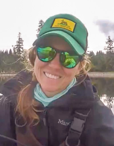
Cameron Baxley serves as Riverkeeper at Apalachicola Riverkeeper. She can be contacted at cameron@apalachicolariverkeeper. For more information including location and the permit application, visit apalachicolariverkeeper.org


I represent 750 individuals and over 300 households in the Settlement of Estiffanulga (Creek=All Peoples Bones). This oil project ” can not happen”. Thank you for anything and everything you do to create awareness. Cameron and ‘Estiffanulga Matters, Inc ‘ are united in an effort to forestall and exploration – recently Clearwater planes buzzed our home on the river for 7 hours straight. Birds panicked, my dog wanted to eat it and I prayed for engine failure after 5 hours. This is a tragic occurrence. Please contact me if you like.
It would be a crying shame to pollute this water by oil drilling. Look at Louisiana! They won’t rest until they pollute our limited resource of fresh and clean water. Apalachicola is a natural haven of national forest with so of the most beautiful water in this country. Please, don’t blow this paradise.